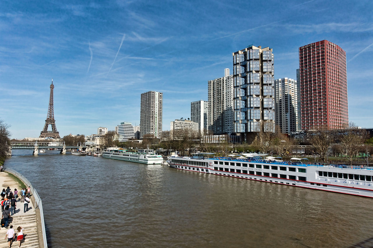
Paris is located in northern central France, in a north-bending arc of the river Seine whose crest includes two islands, the Île Saint-Louis and the larger Île de la Cité, which form the oldest part of the city. The river's mouth on the English Channel (La Manche) is about 233 mi (375 km) downstream from the city. The city is spread widely on both banks of the river. Overall, the city is relatively flat, and the lowest point is 35 m (115 ft) above sea level. Paris has several prominent hills, the highest of which is Montmartre at 130 m (427 ft).
Excluding the outlying parks of Bois de Boulogne and Bois de Vincennes, Paris covers an oval measuring about 87 km2 (34 sq mi) in area, enclosed by the 35 km (22 mi) ring road, the Boulevard Périphérique. The city's last major annexation of outlying territories in 1860 not only gave it its modern form but also created the 20 clockwise-spiralling arrondissements (municipal boroughs). From the 1860 area of 78 km2 (30 sq mi), the city limits were expanded marginally to 86.9 km2 (33.6 sq mi) in the 1920s. In 1929, the Bois de Boulogne and Bois de Vincennes forest parks were officially annexed to the city, bringing its area to about 105 km2 (41 sq mi). The metropolitan area is 2,300 km2 (890 sq mi).
Measured from the 'point zero' in front of its Notre-Dame cathedral, Paris by road is 450 km (280 mi) southeast of London, 287 km (178 mi) south of Calais, 305 km (190 mi) southwest of Brussels, 774 km (481 mi) north of Marseille, 385 km (239 mi) northeast of Nantes, and 135 km (84 mi) southeast of Rouen.